Click For Enlarged View


Select Image To Display


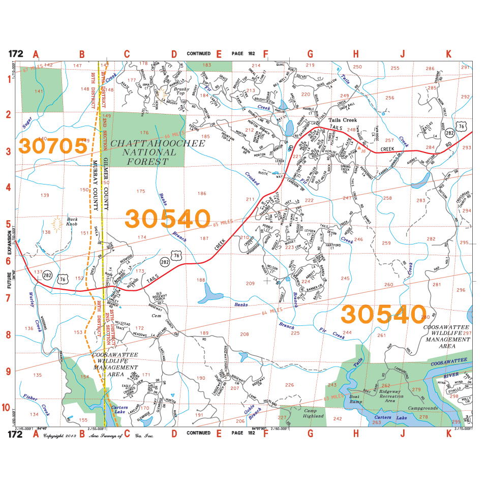
Printable Scale Sample
To see true font size / legibility of your map, you MUST PRINT this small area sample using (1) of the following in your Print Dialogue Box: Actual Size, No Scaling or Do not fit to page. Viewing this image on your screen is NOT a true representation of map legibility.
2017 Mountain East Aero Atlas
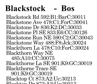
Map Book includes updated Streets, Block Numbers, City and County Jurisdiction Boundaries, Industrial Parks, Zip Code Areas, Post Offices, Shopping Centers, Schools, Fire Stations, Parks, Libraries and more.
Product Id: Georgia-Mountain-East-Map-Book-2017
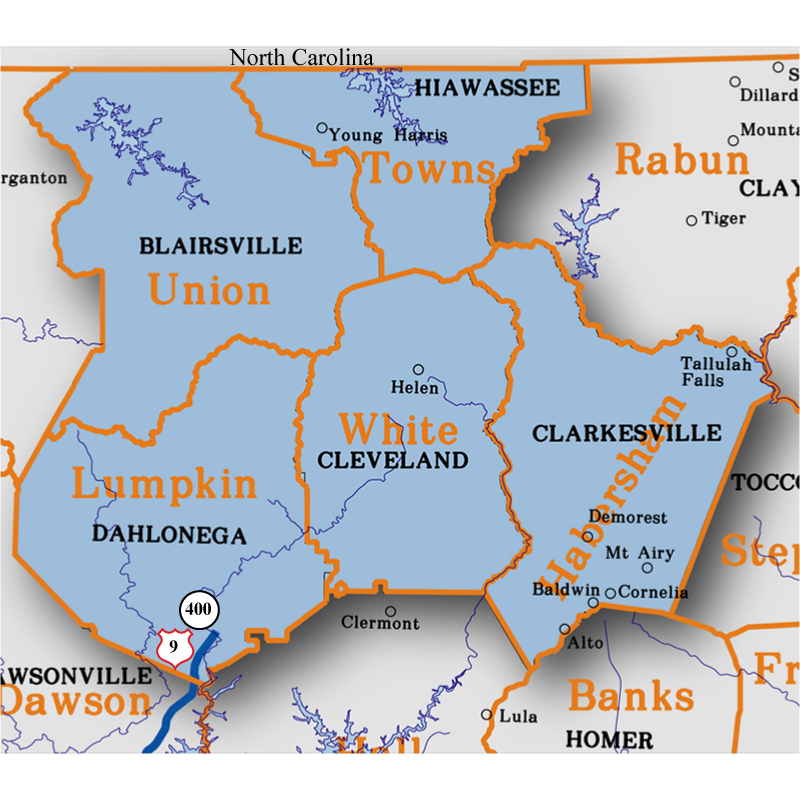
Counties Included: Habersham, Lumpkin, Towns, Union, White
Incorporated Cities: Alto, Baldwin, Blairsville, Clarkesville, Cleveland, Cornelia, Dahlonega, Demorest, Helen, Hiawassee, Mount Airy, Tallulah Falls, Young Harris
Price: {{91.95 | currency}}
Options:
{{option.item.name}} ({{option.item.price / 100 | currency}})
{{option.item.help_string}}
Quantity:
Item Sub-Total: {{ (get_price() * quantity) | currency}}