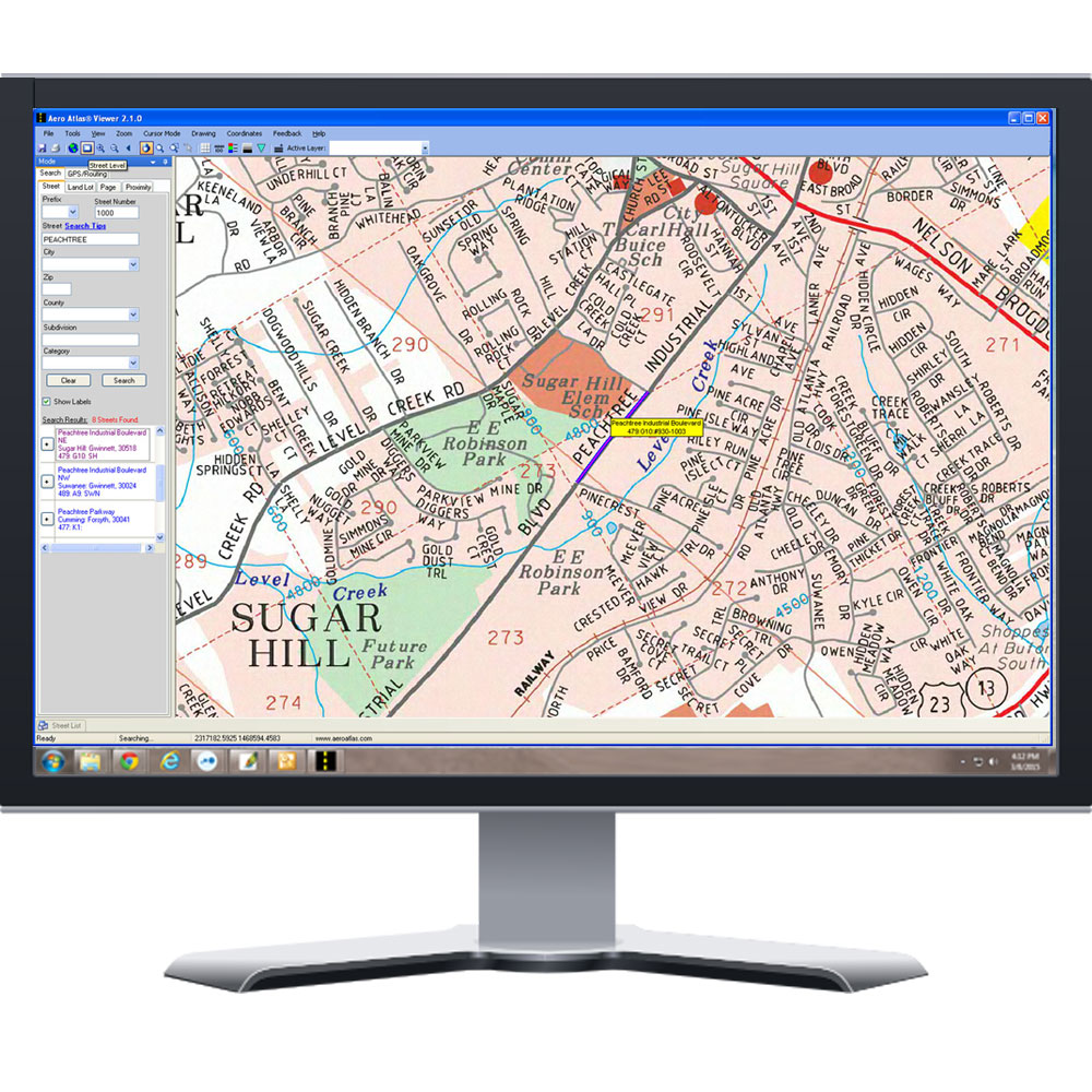
Aero Atlas® Viewer Software and Georgia Coverage Areas
The Viewer software is a map viewing tool used to navigate, draw, and print within our North Georgia coverage areas. If multiple areas are needed, they will merge together to create a single map and index. The Viewer software is only purchased once per organization (Unlimited Computer License) with the Data Areas sold separately as a per seat license (Per Computer License). We strongly suggest that you download and try our FREE 14 day demo as the software and data are non-returnable products.
5 Aero Atlas® Georgia Coverage Data Packs Available Below
Aero Atlas Viewer Software With (1) Free Data Coverage Area
The Viewer software is a site license (Unlimited Computer License) that includes (1) free seat of data coverage. The data is distributed separately and is a per seat license (Computer Specific License). Multiple data coverage areas can be installed on a single computer creating a seamless map. Five (5) Data Coverage Areas are available and can be updated as needed. The Viewer is not a subscription service.
The Viewer software is a site license (Unlimited Computer License) that includes (1) free seat of data coverage. The data is distributed separately and is a per seat license (Computer Specific License). Multiple data coverage areas can be installed on a single computer creating a seamless map. Five (5) Data Coverage Areas are available and can be updated as needed. The Viewer is not a subscription service.


